
MAPS & CHARTS. - Shop
Products In This Category:
-
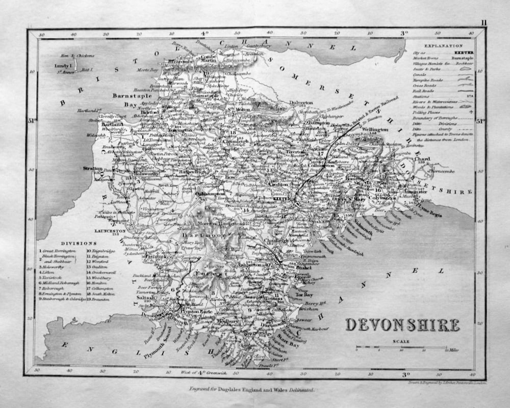
- Devonshire. (Map) 1845.
- £14.50
-
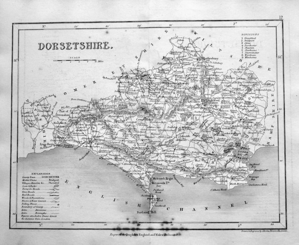
- Dorsetshire. (Map) 1845.
- £10.00
-
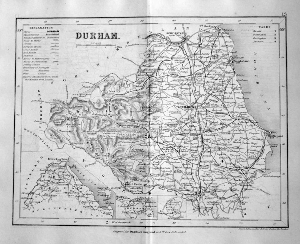
- Durham. (Map) 1845.
- £14.50
-

- Eggerdon Hill. Dorset. 1863.
- £15.00
-
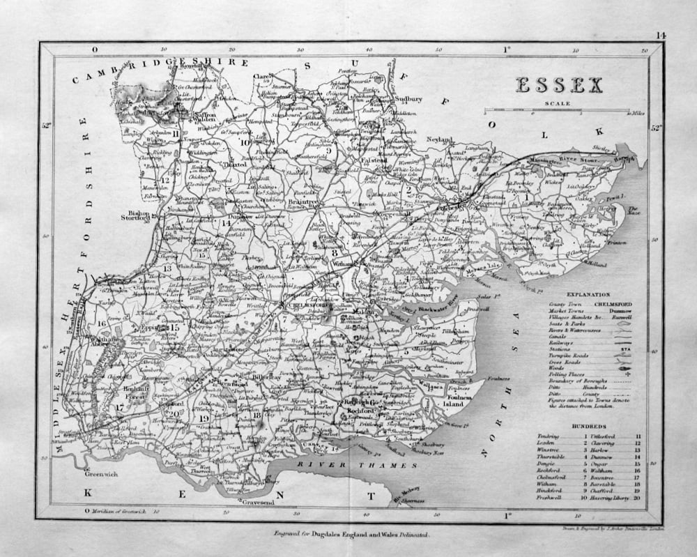
- Essex. (Map) 1845.
- £14.50
-
- Fighting Line on the Eastern Battle Front - Brought up to the Last Day of 1914.
- £11.00
-
- Flintshire. (Map) 1845.
- £12.50
-
- Glamorganshire. (Map). 1845.
- £12.50
-
- Gloucestershire. (Map) 1845.
- £14.50
-
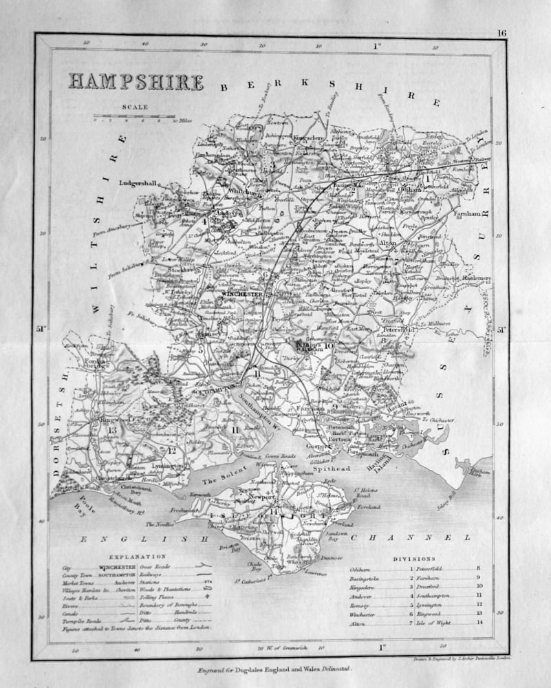
- Hampshire. (Map) 1845.
- £14.50
-
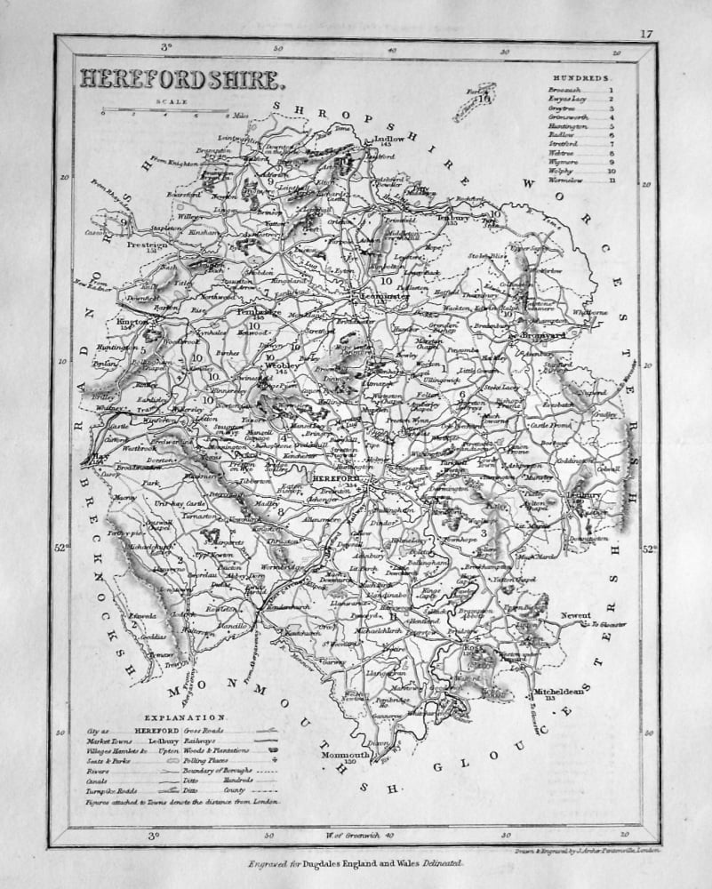
- Herefordshire. (Map) 1845.
- £14.50
-
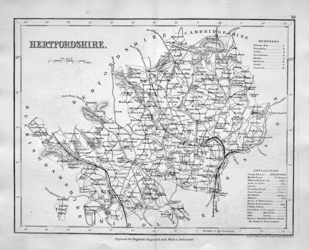
- Hertfordshire. (Map) 1845.
- £14.50
-
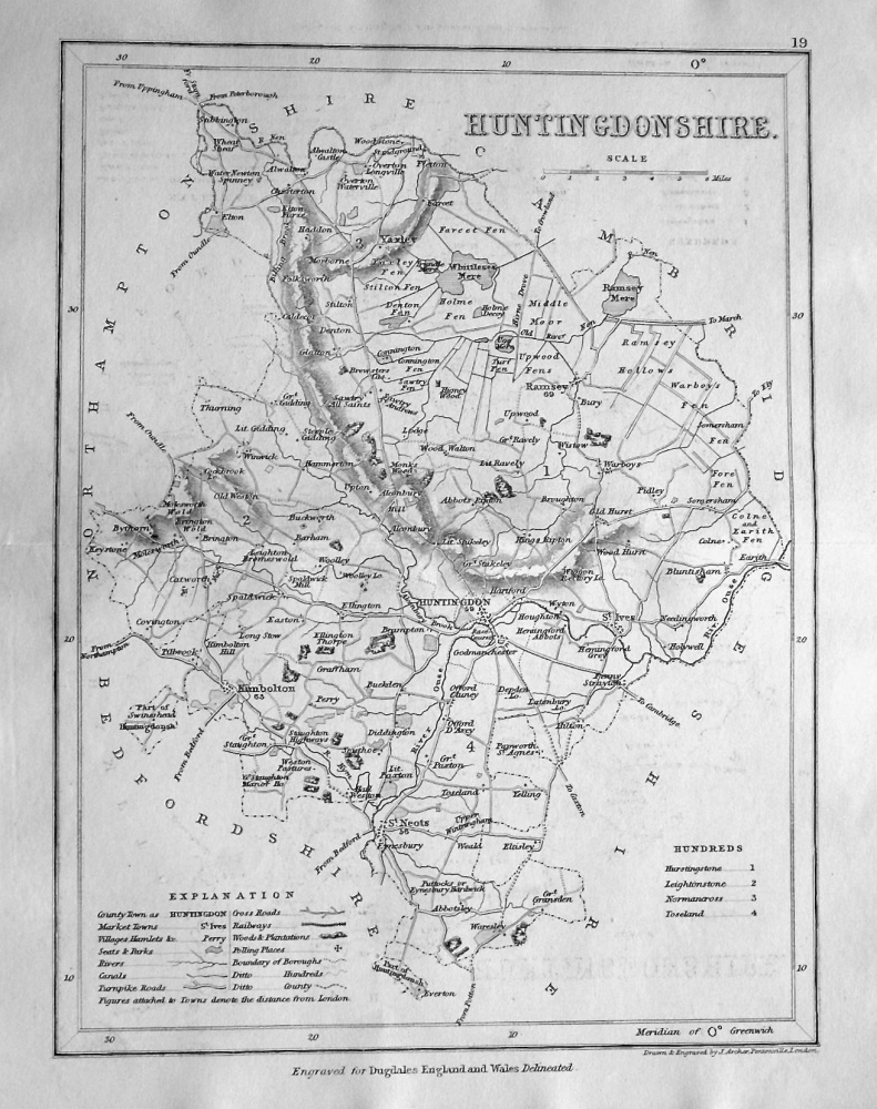
- Huntingdonshire. (Map) 1845.
- £14.50
-
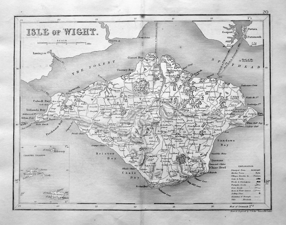
- Isle of Wight. (Map) 1845.
- £14.50
-
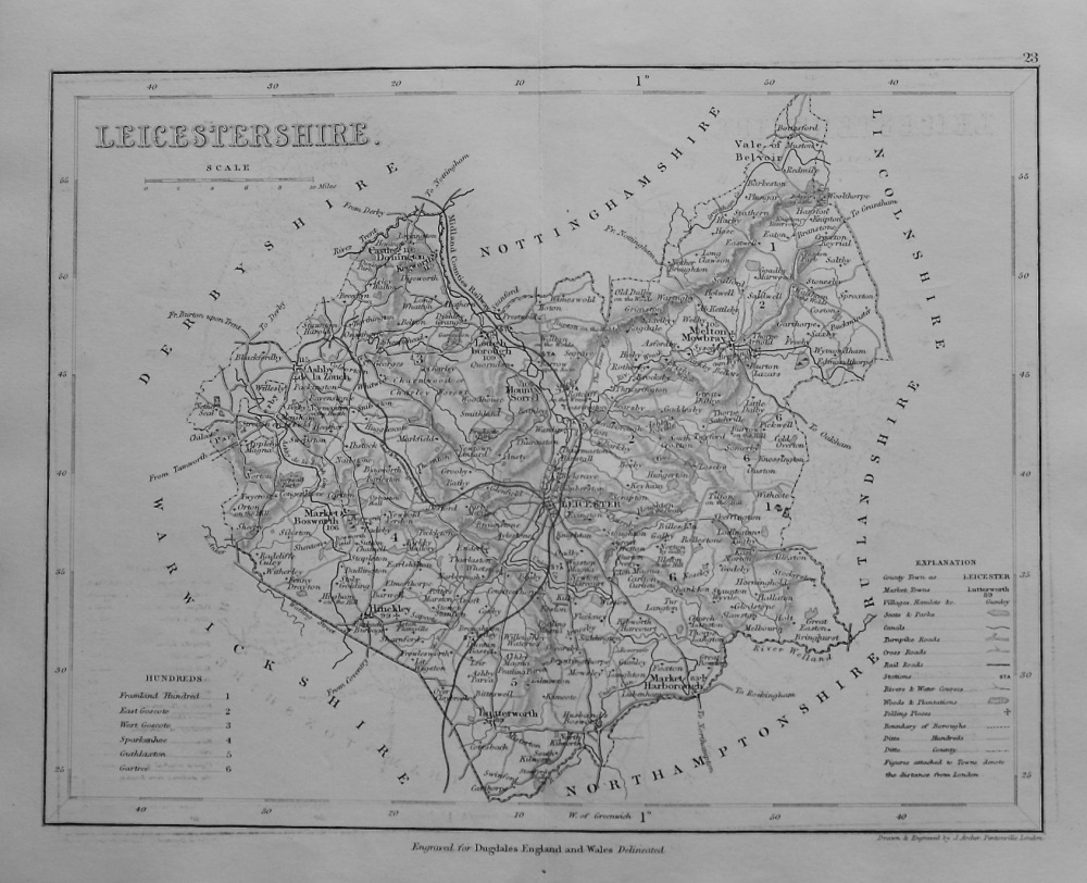
- Leicestershire. (Map) 1845.
- £12.50
-
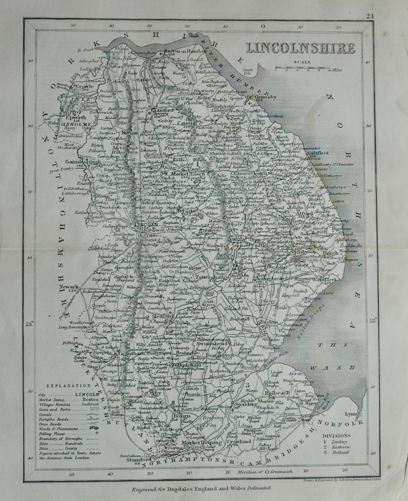
- Lincolnshire. (Map) 1845.
- £9.00
-

- MAP - Environs of London - Windsor Castle to Gravesend - c1857
- £180.00
-

- Map of European Russia shewing its Ealiest extent, its Encroachment upon Adjacent Countries, and the Present Boundary of The Empire. 1855.
- £14.50
-

- Map of India - Prince of Wales Visit - 1876
- £12.50
-

- Map of North Italy - 1859
- £14.50
-
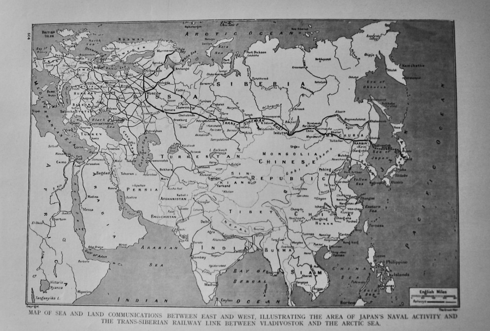
- Map of Sea and Land Communications between East and West, Illustrating the Area of Japan's Naval Activity and the Trans-Siberian Railway Link between
- £11.50
-

- Map of Sebastopol and Balaclava - 1854
- £14.50
-
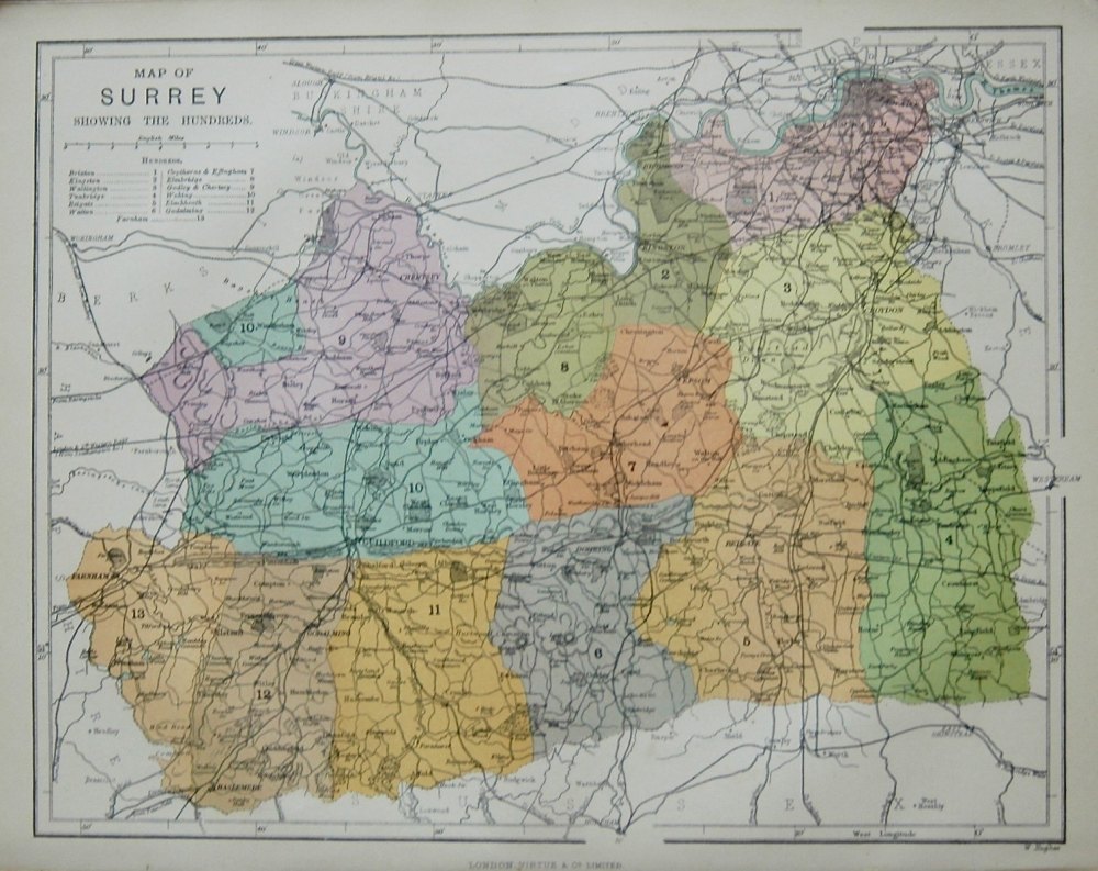
- Map of Surrey showing the Hundreds.
- £35.00
-
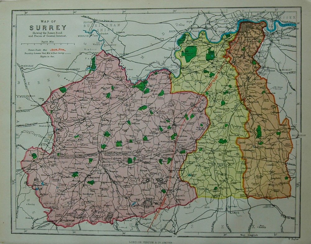
- Map of Surrey showing the Roman Road and Places of Interest. 1878c.
- £35.00
-
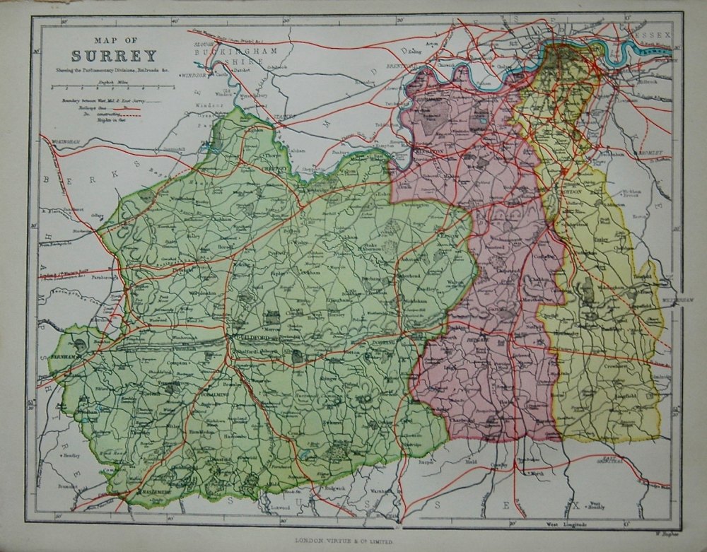
- Map of Surrey, showing the Parliamentary Divisions, Railroads & c.
- £35.00