
MAPS & PLANS. - Shop
Products In This Category:
-

- A Plan of the Isle of Portland and parts adjacent 1710.
- £18.00
-
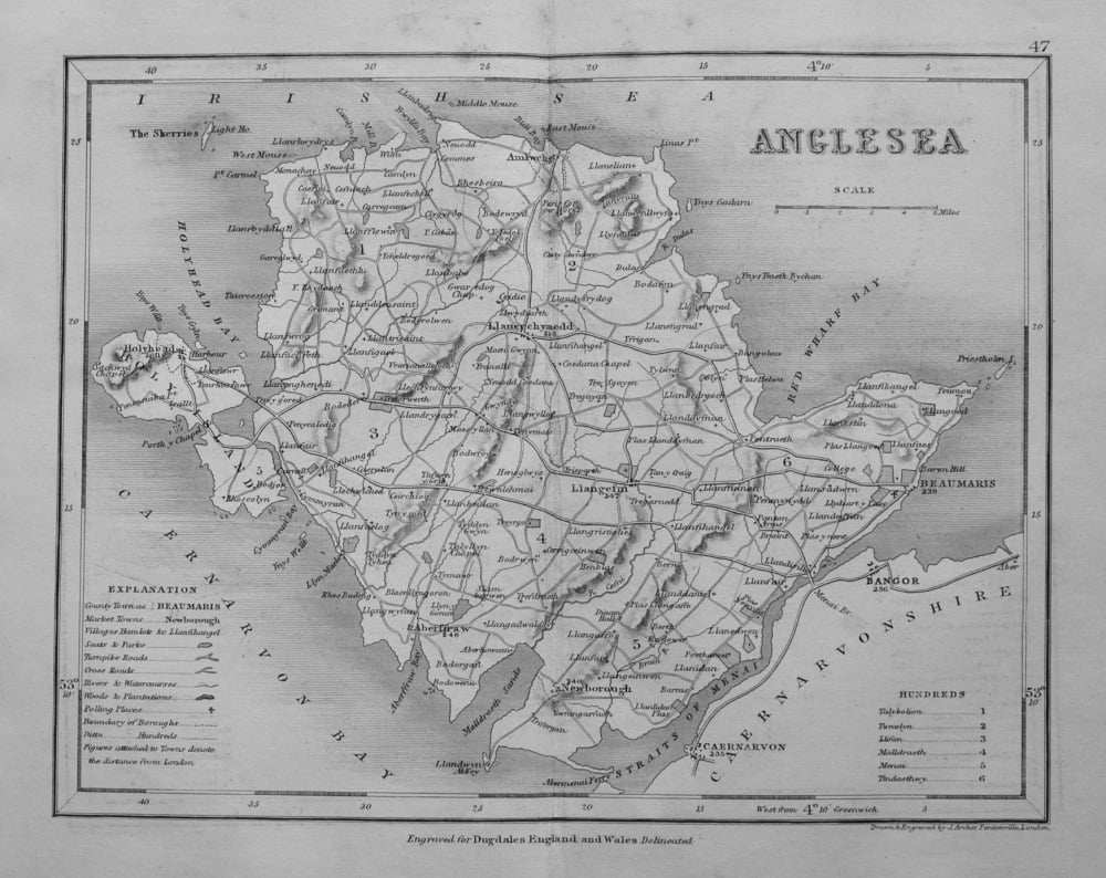
- Anglesea. (Map) 1845.
- £10.00
-
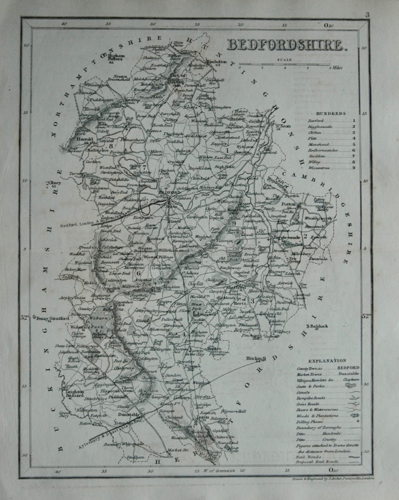
- Bedfordshire. (Map) 1845.
- £12.00
-
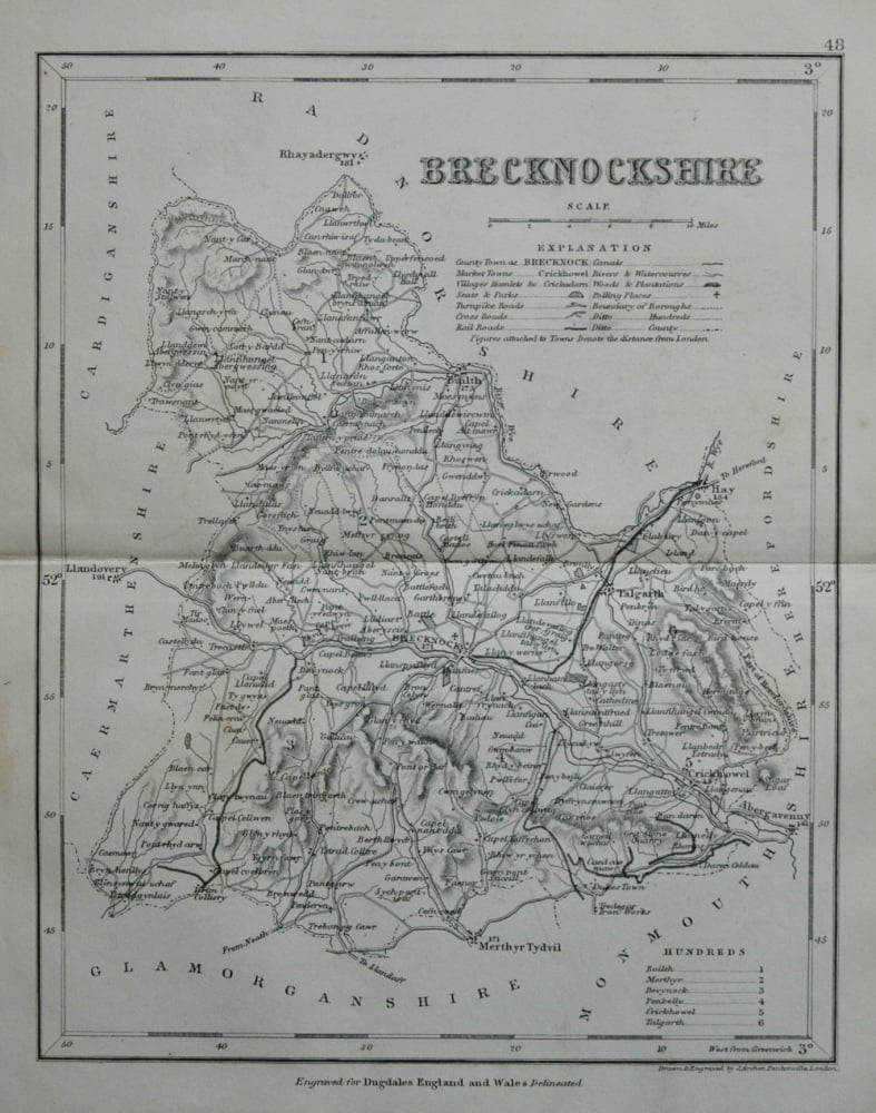
- Brecknockshire. (Map) 1845.
- £11.00
-
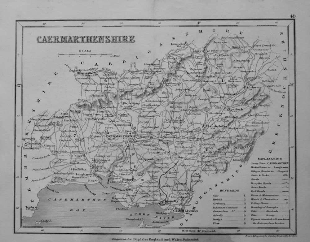
- Caermarthenshire. (Map) 1845.
- £10.00
-
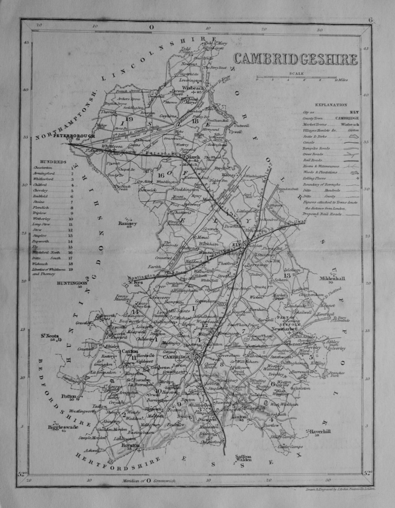
- Cambridgeshire. (Map) 1845.
- £12.00
-
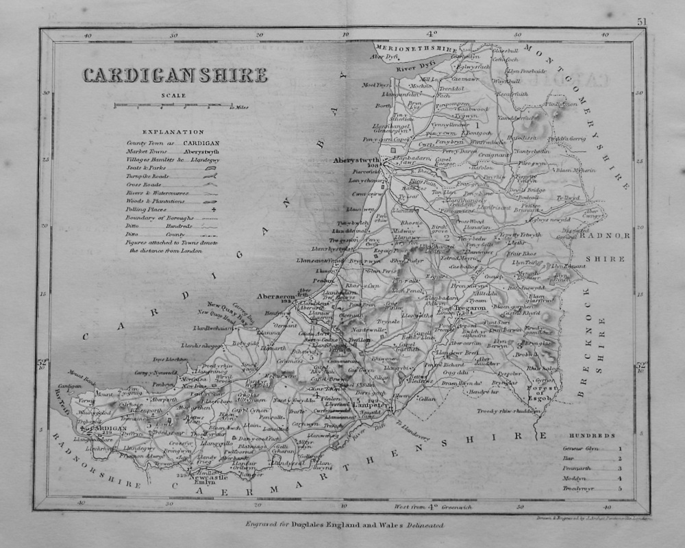
- Cardiganshire. (Map) 1845.
- £12.50
-
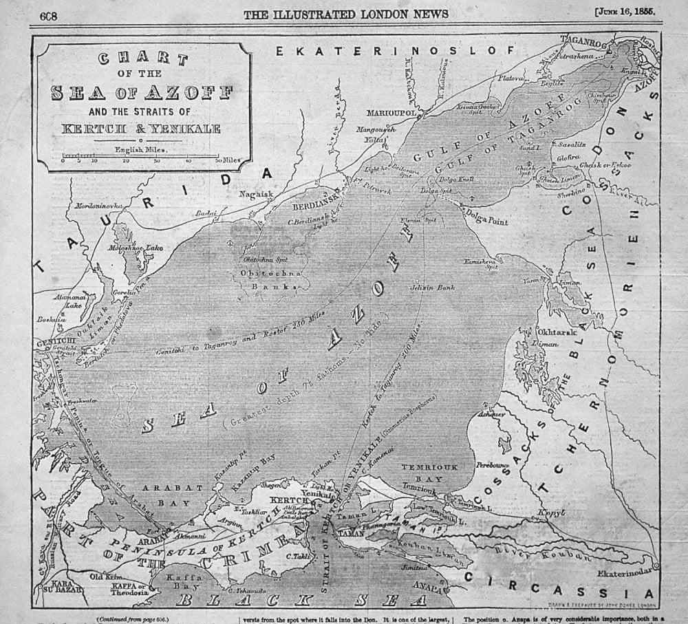
- Chart of the Sea of Azoff and the Straits of Kertch & Yenikale. 1855
- £10.00
-
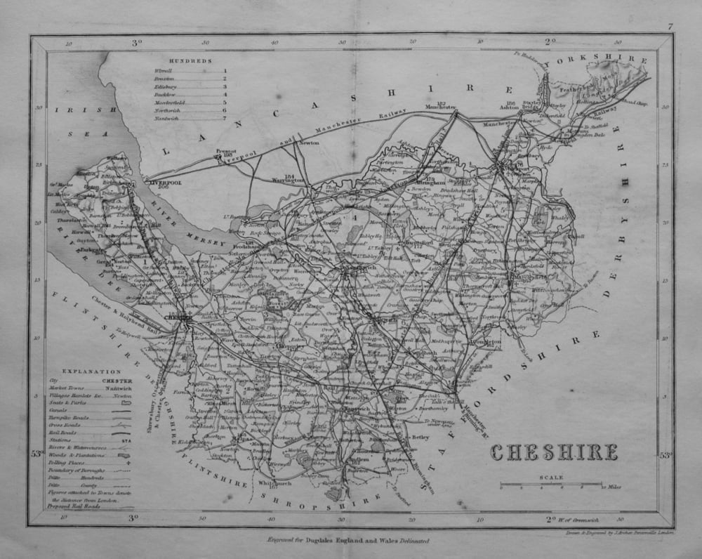
- Cheshire. (Map) 1845.
- £11.00
-

- Country Between Cairo and Suez Canal to illustrate military operations. 1882.
- £25.00
-
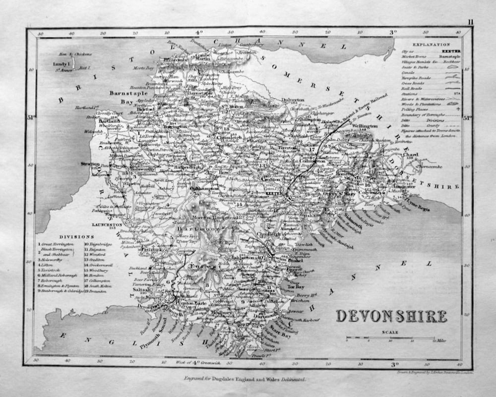
- Devonshire. (Map) 1845.
- £14.50
-
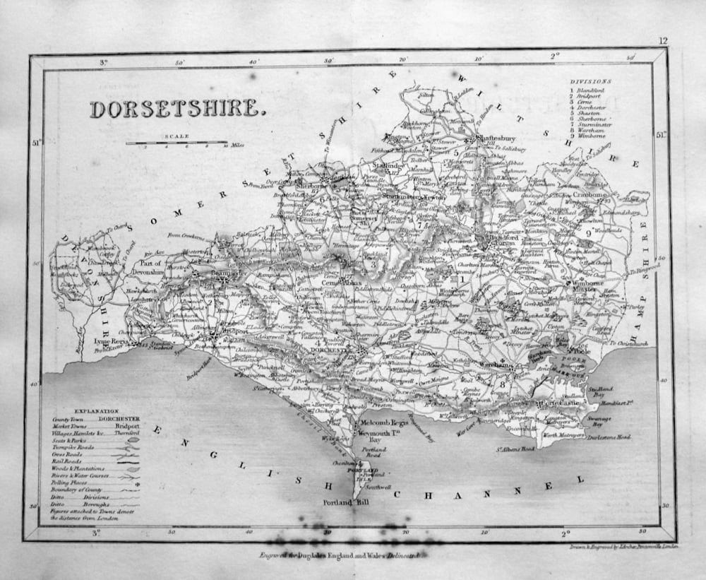
- Dorsetshire. (Map) 1845.
- £10.00
-
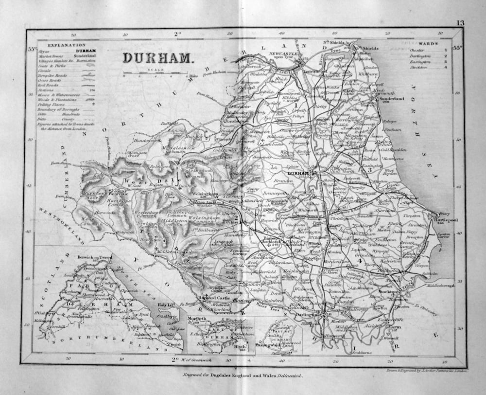
- Durham. (Map) 1845.
- £14.50
-

- Eggerdon Hill. Dorset. 1863.
- £15.00
-
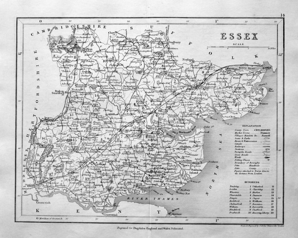
- Essex. (Map) 1845.
- £14.50
-
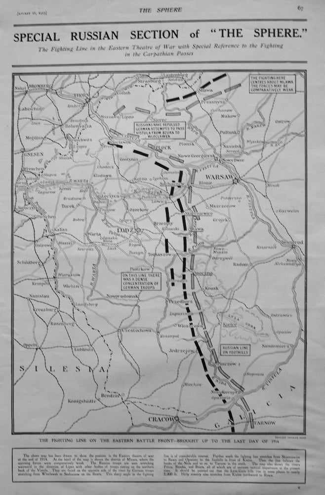
- Fighting Line on the Eastern Battle Front - Brought up to the Last Day of 1914.
- £11.00
-
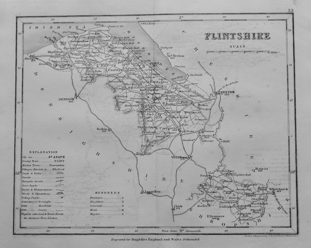
- Flintshire. (Map) 1845.
- £12.50
-
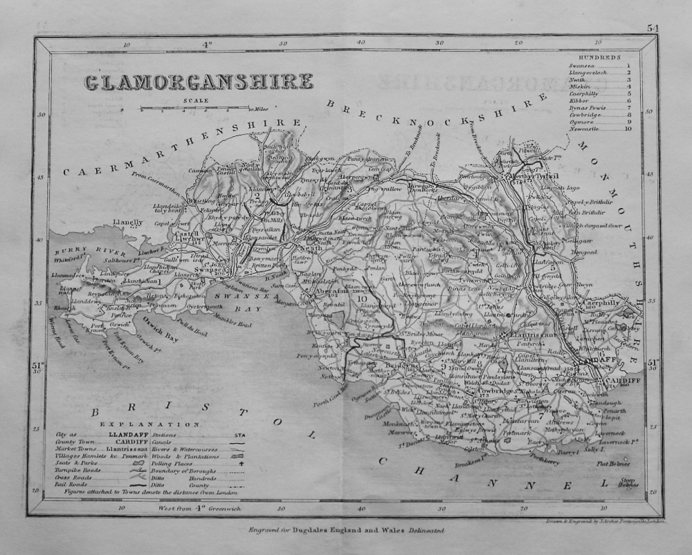
- Glamorganshire. (Map). 1845.
- £12.50
-
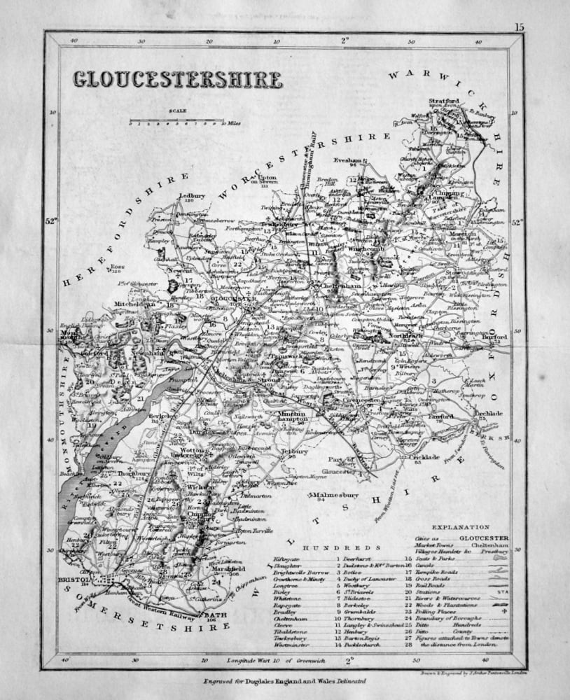
- Gloucestershire. (Map) 1845.
- £14.50
-
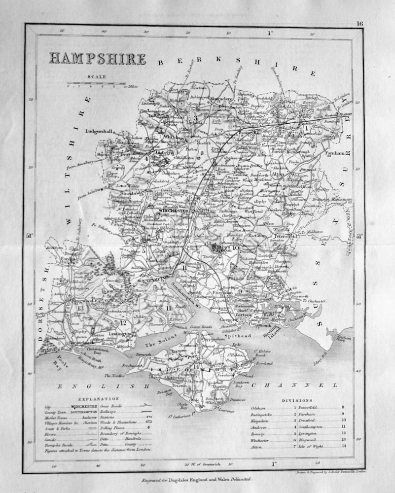
- Hampshire. (Map) 1845.
- £14.50
-
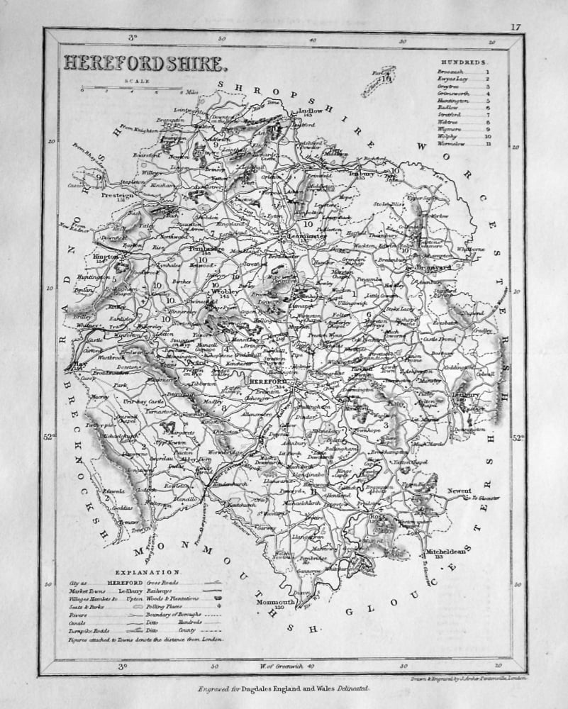
- Herefordshire. (Map) 1845.
- £14.50
-
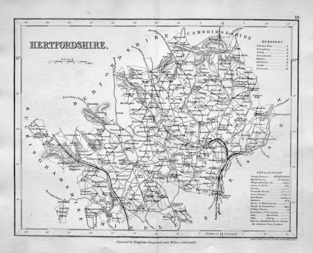
- Hertfordshire. (Map) 1845.
- £14.50
-
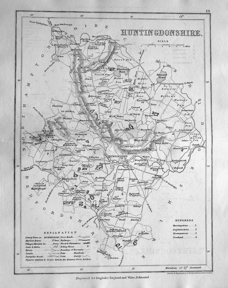
- Huntingdonshire. (Map) 1845.
- £14.50
-
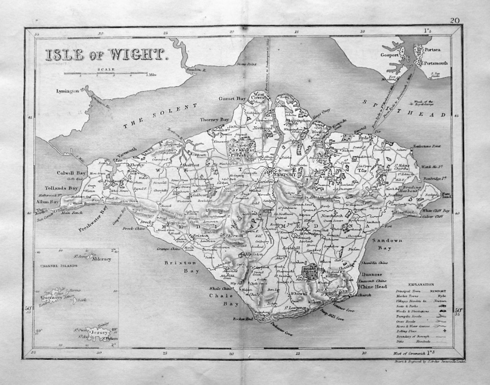
- Isle of Wight. (Map) 1845.
- £14.50
-
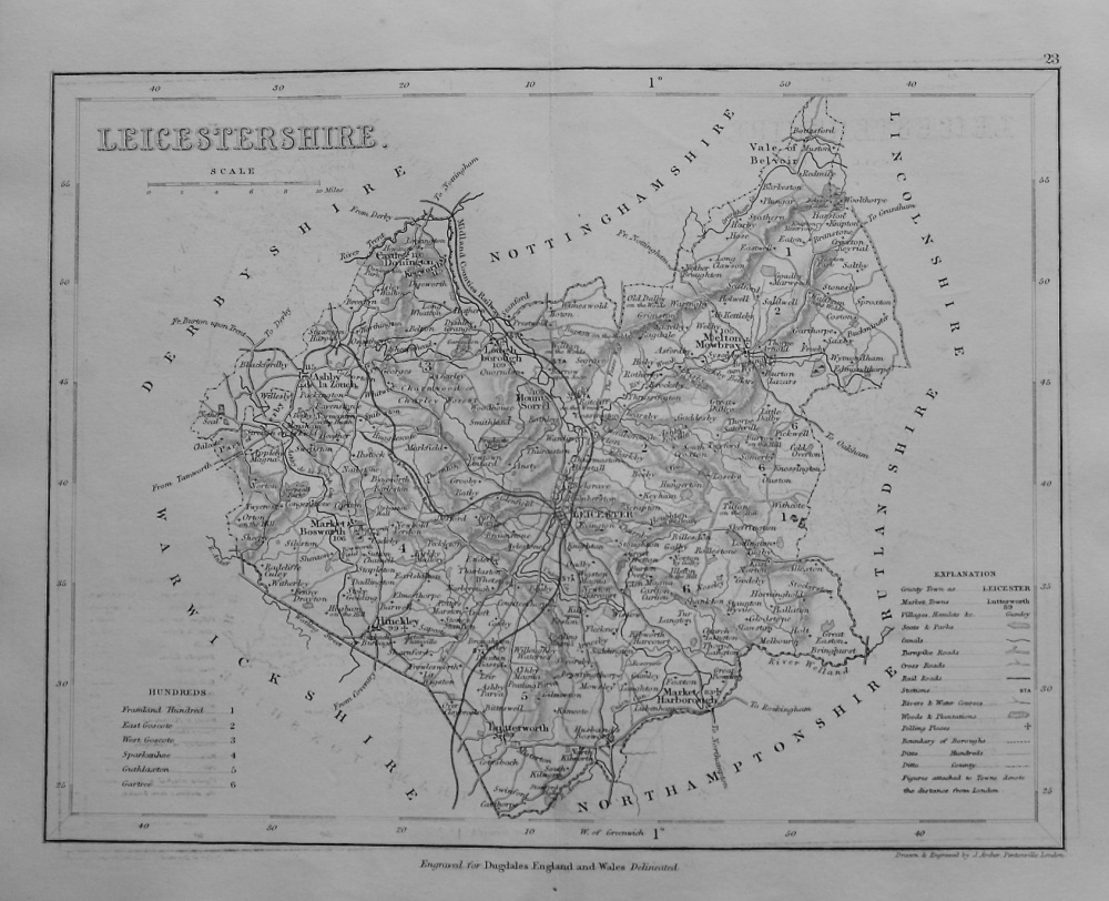
- Leicestershire. (Map) 1845.
- £12.50